Poza Rica → Autopista La Tinaja - Acayucan
De siempre
by Wady
- Distance
- 338 km
- Duration
- 1 day
- Stops
- 2
Opens in the app, with stop-by-stop navigation.
The trip
Poza Rica → Autopista La Tinaja - Acayucan · 1 day · 2 stops · 338 km
Itinerary
1 day, 2 stops
Day 1 · Poza Rica, Ver., Mexico → Autopista La Tinaja - Acayucan, 95214 Tierra Blanca, Estado de Veracruz, México
2 stops
- Poza Rica, Ver., MexicoWaypoint
- Autopista La Tinaja - Acayucan, 95214 Tierra Blanca, Estado de Veracruz, MéxicoArrival


Photos
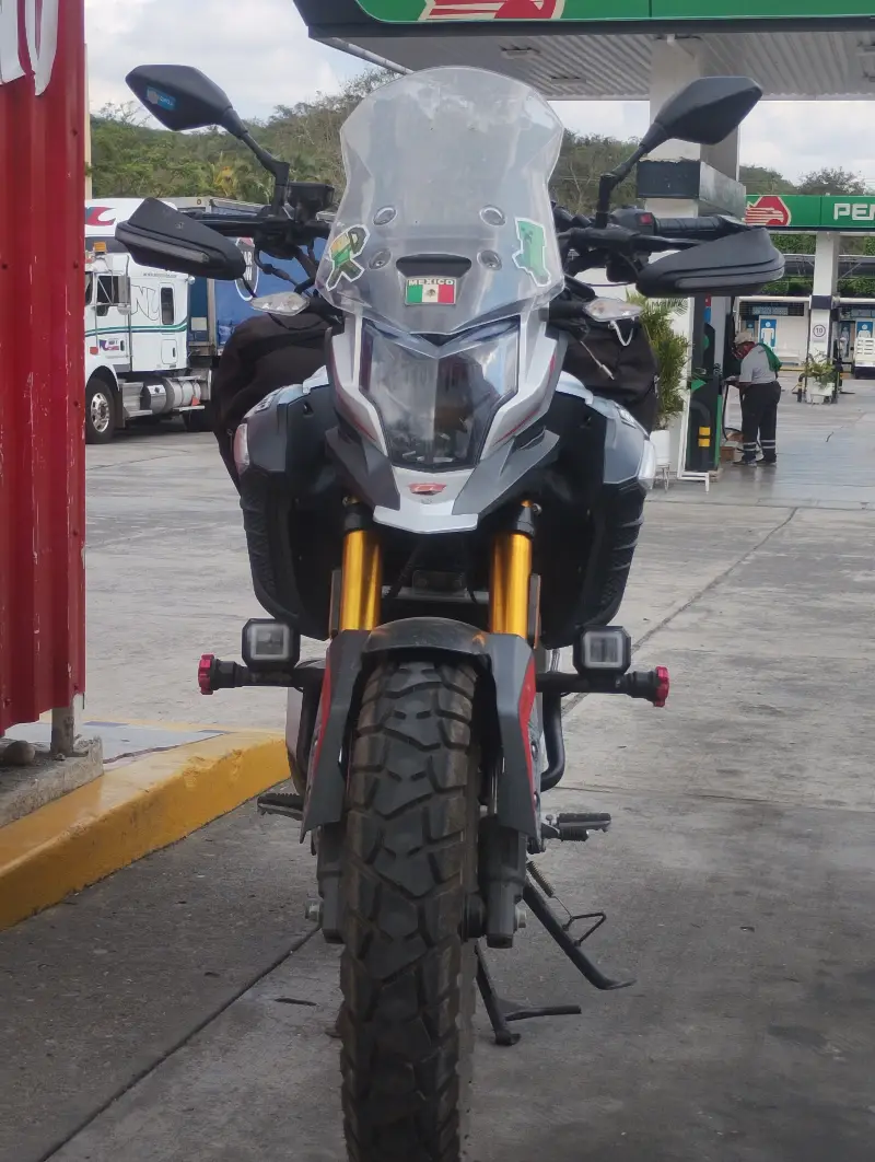
What you see along the way
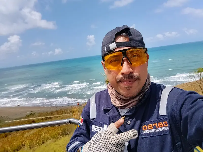
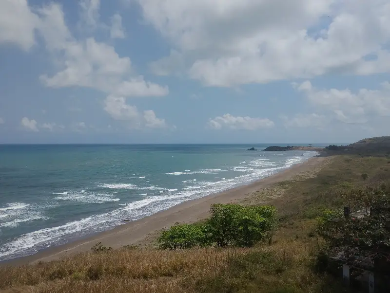
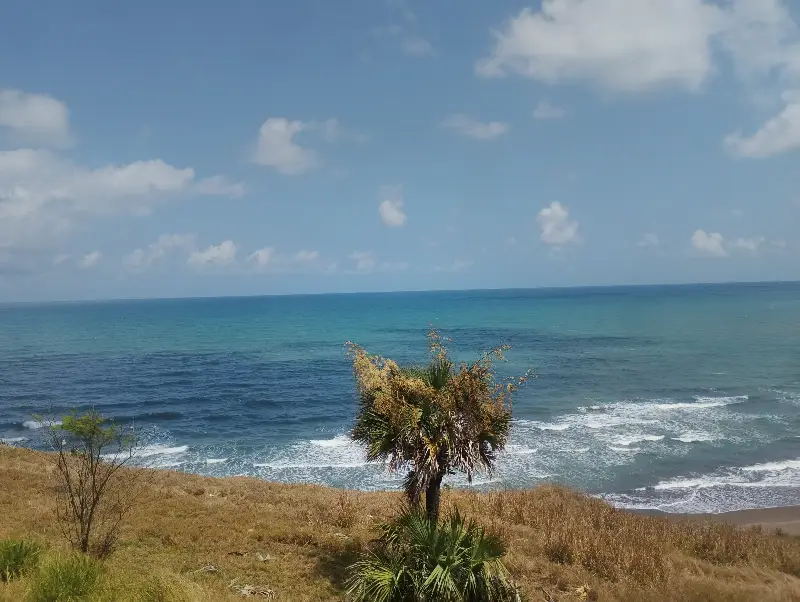
Community
Conversation
No messages yet. If you ask, we let the route creator and riders who did it know.
Write in the conversation
Planned by
Wady
Guide
Along the way
It's added to the Guide, not to this trip, and trips passing nearby will see it.
Velok App
Ride it with the app
- Stop-by-stop navigation
- Live tracking for whoever is waiting for you
- Offline map for stretches without signal